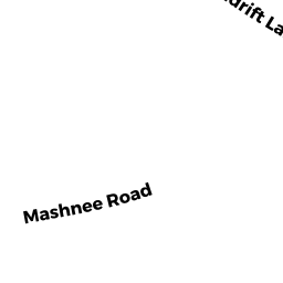
0 MASHNEE RD
Owner Information
BALLENTINE STEPHEN ET AL TR OF
P O BOX 203
CATAUMET, MA 02534


Property Details
0 MASHNEE RD is classified as a Vacant, Conservation Organizations (Charitable Org.).
0 MASHNEE RD is valued at $79,000. The land is valued at $79,000 and the structures are valued at $0.
This property is in Zone 1. Confirm with local Zoning Board authorities to ensure there are no overlays or other easements on this property.
The most recent deed for 0 MASHNEE RD is recorded at the local registrar in Book 20589, Page 27. 0 MASHNEE RD was last sold on Tuesday, December 20, 2005 for $1.
Assessment data from fiscal year 2020.
Flood Data
This property is partially within the AE Zone (within floodplain). Approximately 4.91 acres (100.0%) of the property is within this zone.
The base flood elevation for this flood zone is 16 feet.
This information is sourced from the FEMA National Flood Hazard Layer. See our full disclamer.
Broadband Internet Providers
| Provider | Type | Bandwidth (mbps) | |
|---|---|---|---|
| Viasat Inc | Satellite | 35 | 3 |
| HughesNet | Satellite | 25 | 3 |
| VSAT Systems, LLC. | Satellite | 2 | 1 |
| Verizon New England Inc. | DSL | 5 | 0 |
| Comcast | Cable | 1000 | 35 |
| GCI Communication Corp. | Satellite | 0 | 0 |
Broadband service provider data from December 2020.
Adjacent Properties
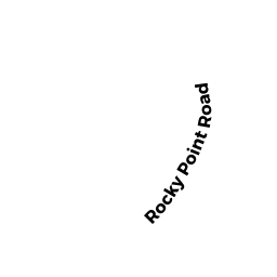
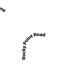
- 0 ROCKY POINT RD
Developable Residential Land owned by SHIOUTAKON MARY SPILHAUS, - 88 ROCKY POINT RD
Undevelopable Residential Land owned by SHIOUTAKON MARY SPILHAUS & - 68 ROCKY POINT RD
Single Family Residential owned by PETTEE JONATHAN S & CAROL - 69 MASHNEE RD
Single Family Residential owned by GALLIVAN TERESA E - 29 MASHNEE RD
Single Family Residential owned by CONRON JUDITH W & RICHARD W - 0 MONUMENT NECK RD
Undevelopable Residential Land owned by WORCESTER SURF CASTING CLUB